Ban the Burn campaigners are not alone in saying that an end to drainage and burning of blanket bogs would reduce flood risk in the Upper Calder Valley. Both the Environment Agency and Calderdale Council agree.
Better management of upland areas – particularly moorland which has been drained by the practice known as gripping (ditches) – is one of the tools which may help to reduce flooding in the Calderdale catchment. This is the message from both the Environment Agency’s Calder Catchment Flood Management Plan – Summary Report (December 2010) and Calderdale Metropolitan Borough Council’s Draft Preliminary Flood Risk Assessment (April 2011) (downloadable under Item 5 Appendix 3 Preliminary Flood Risk [PDF Document 696KB] on this webpage).
Calderdale Council’s Draft Preliminary Flood Risk Assessment recognises (p20) that,
“Surface water run-off from the land can be reduced by proper management of the higher moorland areas and farmland.
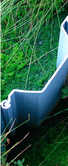
Various land management techniques have been identified to attenuate and reduce surface water flooding from the land. This includes replanting in certain areas, grip-blockers which attenuate runoff from moorland, the direction fields are ploughed and adequate land drainage. All such techniques can be effective in reducing the intensity of surface water run-off from land…”
Given the need to protect biodiversity on moors which are protected as Special Protection Areas (SPAs), Special Areas of Conservation (SACs) and Sites of Special Scientific Interest (SSSIs) – as well as to start managing the moors to reduce flood risk in the valley – Calderdale Council’s Draft Preliminary Flood Risk Assessment finds that,
“Protocols may need to be established to enable land management to proceed in a more flood friendly way.” (p13)
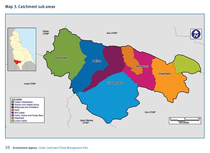
The Environment Agency’s Calder Catchment Flood Management Plan identifies the Calder Headwaters sub area of the Catchment as subject to “moderate to high flood risk where we can generally take further action to reduce flood risk”. Its plan for reducing flood risk in the Calder Headwaters area includes:
- identifying the implications of changing the flood regime on the South Pennine Moor SAC, SPA and SSSI
- developing a role for a Sustainable Land Management Officer to promote sustainable land management practices
Environment Agency analysis has shown that agricultural land management changes in the Calder catchment have the potential to reduce the flood risk by 25%. However, the EA concluded that it would not be feasible to carry out all the changes across the whole catchment that would be needed to bring this benefit. But it would be feasible to carry out land management changes on the uplands in the Calder Headwaters sub area, which would reduce flood risk in the valleys.


