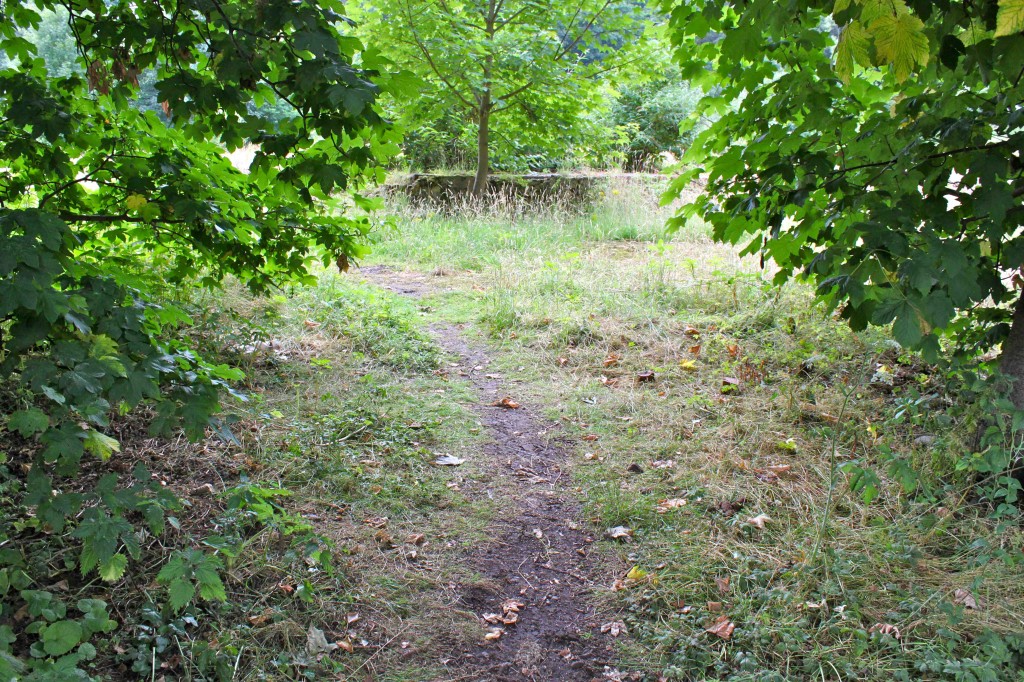
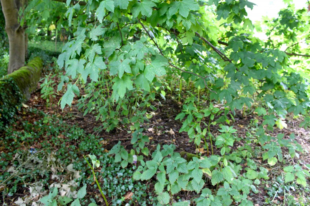
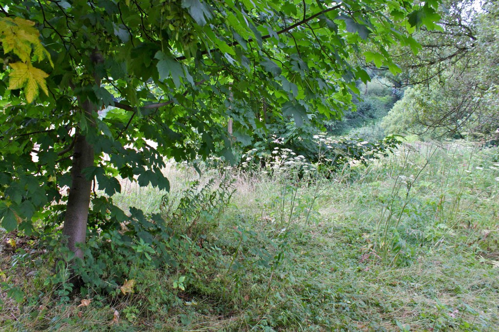
Playing with a way of mapping biodiversity on Browns Field, using the open source Grab a Grid reference tool.
Any people out there who know about permaculture observation, please tell us if this method (outlined below) is likely to be useful for members of the public to observe and record what grows and lives on the field over the next year or so? You can use the reply box or contact form.
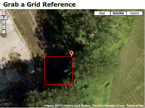
This shows the 10 metre grid where I was standing when I took these photos:
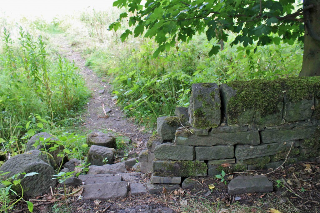
Looking east back into Mytholm Meadows playing field.
This is just a try out to see if this is a possible way of mapping the biodiversity on the site, seeing what grows where and when.
If anyone wants to try it, go to the Grab a Grid Reference open source tool and follow the guidance on How to use Grab a Grid Reference on the top left of the webpage. Or just drag the marker on the map to Hebden Bridge and then zoom in the map until you can place the marker on the Browns Field site. Choose the 10m grid size.
You can then use the contact form to send the link to your 10m grid and the data you’ve gathered about what’s growing in it – including insects and animals, as well as plants. And I can post it here, in a new website section – Observation Project.
Here’s an interesting blog post of tips for effective permaculture observation.
Below are photos of plants and insects in a couple more 10m grids and then a 100m grid – once I’d got into the long grass I couldn’t identify which 10m grid I’d been in while taking the photos. So I settled on a 100m grid instead.
Think you’d need a gps thingy on a smartphone or something, to identify the specific 10m grid you (and the plants, animals, insects etc) were in.

